Mercury in High Alpine Lakes
Project Number: xxx
Project Chief: Dave Krabbenhoft
Project Topics: lakes, ecosystems, atmospheric pathways
Cooperators: National Parks Service; USGS Toxic Substances Hydrology Program
Period of Project: yyyy to present
 Introduction Introduction
Studies worldwide have shown that mercury (Hg) is a ubiquitous contaminant, reaching even the most remote environments such as high-altitude lakes via atmospheric pathways. However, very few studies have been conducted to assess Hg contamination levels of these systems.
The study area consists of 93 mid-latitude, high-altitude lakes from 7 national parks in the western United States which were sampled in September, 1999 for basic water quality parameters, carbon gases and mercury. In addition to the synoptic survey, routine monitoring and experimental studies were conducted at one of the lakes (Mills Lake) to quantify MeHg flux rates and important process rates such as photo-demethylation.
Objectives
Objectives of this study are to:
- Acquire data from an array of high-altitude lakes from across the western United States for the purposes of providing a baseline on the current Hg and MeHg contamination levels of these sensitive ecosystems.
- Provide a detailed assessment of photo-demethylation as a protective agent for high-altitude lakes.
- Construction of a seasonal mass-balance for MeHg for one of the study lakes by conducting a more detailed assessment including repeated sampling of the lake, stream inflow and outflow, and sediment coring.
Major Findings
Our synoptic sampling effort of 90 mid-latitude, high-altitude lakes from eight national parks in the western United States during a four-week period in September 1999 showed that overall these ecosystems have low Hg and MeHg levels (1.07 and 0.05 ng L-1, respectively). Compared to most other studies, we observed a very good correlation of Hg to MeHg (r2= 0.82), suggesting that inorganic Hg(II) loading is a primary controlling factor of MeHg production in mountain lakes, and that any future changes to atmospheric Hg loads would likely be detected in these sensitive systems. Positive correlations were also observed for DOC and both Hg and MeHg, although to a much lesser degree.
Glacier National Park, Montana, had the lowest overall MeHg levels we observed (0.02 ng L-1), and we suspect this is related to naturally elevated pH values in the lakes there, although among the national parks sampled pH exhibited a relatively narrow range of values and showed little control of either HgT or MeHg.
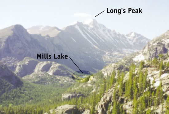
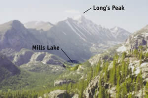
A more detailed study of Hg and MeHg was conducted at Mills Lake, Rocky Mountain National Park, Colorado. This study showed rates of photo-demethylation were quite fast, and this process was of equal importance to sedimentation and stream flow for removing MeHg. We suspect that enhanced rates of photo-demethylation are likely an important reason why high-altitude lakes, with typically high water clarity and sunlight exposure, are low in MeHg.
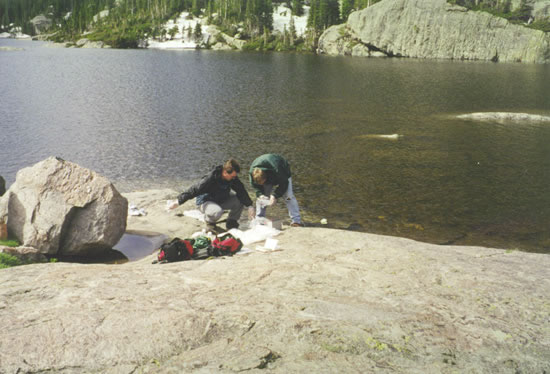
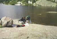
Field Photos of Sampling in the Rocky Mountains
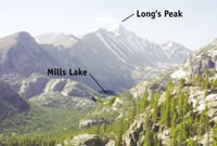
Mills Lake study area |

View of study area |
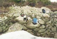
Sampling |
Sampling |
|